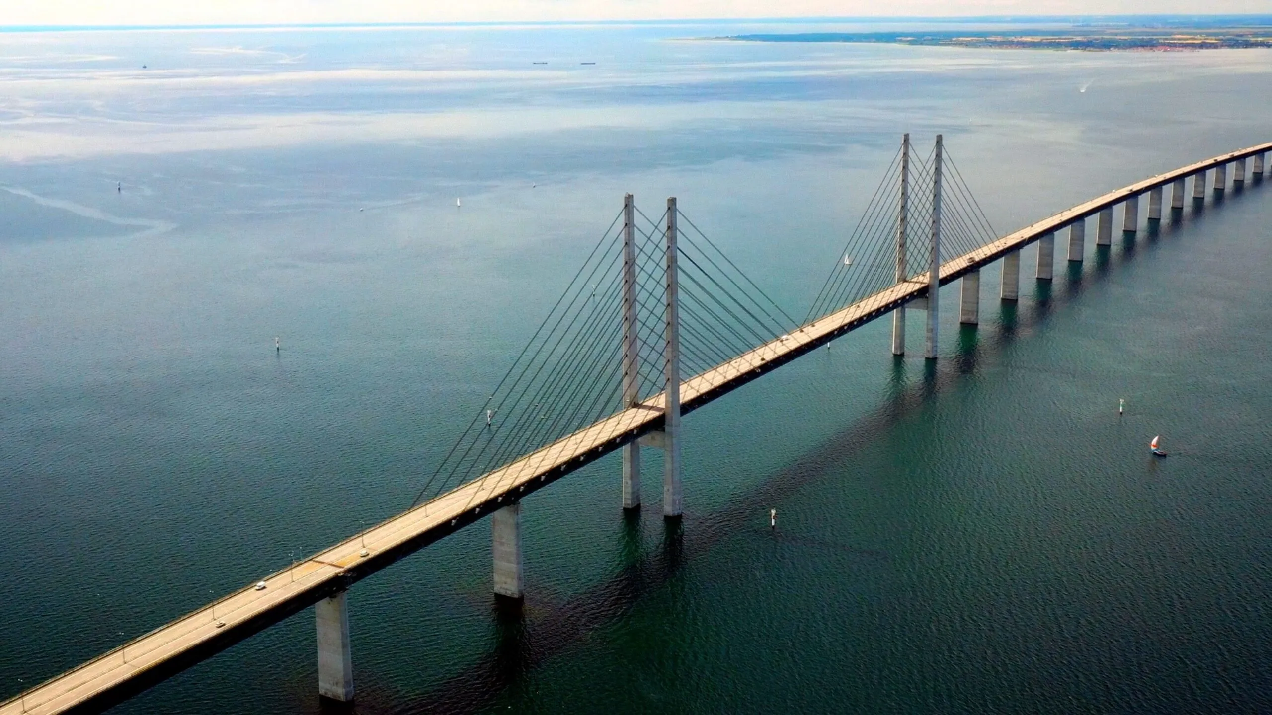
What is drone photography
Professional drone photography captures stunning aerial perspectives that transform how properties, construction projects, and landscapes are presented. At Interfilm Productions, our licensed drone photographers deliver high-resolution aerial imagery across Denmark using state-of-the-art equipment and full regulatory compliance. Our aerial photography helps real estate listings sell 68% faster, documents construction progress with precision, and creates marketing materials that capture attention and drive engagement.

Our Licensed Drone Photography Process
Professional aerial images delivered with full regulatory compliance.
Site & Airspace Analysis
We assess your location, evaluate airspace restrictions, weather conditions, and plan optimal flight paths for the most compelling compositions.
Permits & Regulatory Compliance
Full permit handling, flight plan submissions, and safety protocols — our pilots hold valid EU drone operator certificates and commercial insurance.
Professional Aerial Capture
Multiple angles and altitudes using high-resolution cameras — overhead views, oblique perspectives, panoramic shots, and detail compositions.
Expert Post-Processing
Professional editing including HDR blending, perspective correction, color grading, and panoramic stitching for gallery-quality results.
Multi-Format Delivery
Images optimized for your specific needs — real estate listings, websites, social media, print marketing, and construction documentation.
Licensed aerial photography across Denmark.
See Your World from Above
Build your brand story.
Choose the service that fits your next project.